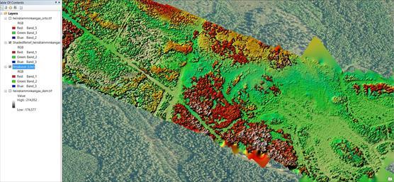
The key aims of WP4 are to: (i) collect cutting-edge EO data at various spatial and temporal scales for IBC-Carbon studies; (ii) develop and produce novel remotely sensed indicators of BD variables and variables for C-sequestration and forest radiation studies. We will utilize 1) optical satellite images (e.g. Sentinel, Landsat), 2) airborne laser scanning (ALS) data, and 3) unmanned aircraft systems (UAS). Optical remote sensing covers large geographical areas at 10-30 m spatial resolution and temporal span of several decades.
ALS is a superb method to capture the 3D structure of forested ecosystems with sub-meter accuracy. Integrating multisource and multiscale EO data and methods allows studying forest BD and C-sequestration related questions in great detail. Novel UAS methods contribute for bridging the gap in EO between field and airborne measurements and providing ultra-high spatial and temporal resolution imagery for detailed assessment of different ecosystems properties. Because of the potential for rapid deployment, UAS data can be acquired irrespective of many of the costs, scheduling, logistic, and weather limitations of satellite or piloted aircraft missions. Field data will be collected in order to tackle the research questions in co-operation with other WPs.
WP4 will develop further the concept of spectral traits (ST) in boreal environments. Biotic traits, especially functional traits, are becoming increasingly important concept in ecology, conservation biology and sustainable resource management. Spectral traits are traits that can be directly or indirectly recorded using Remote sensing (RS).
Deriving spectral traits from various RS data can provide detailed valuable information for BD research. Lidar data allows studying traits related to forest and vegetation structure in 3D, which is imperative in assessing habitat quality and species diversity. Multi-temporal EO data also enable detection of changes in both spectral and geometrical traits, which can be related to physiology and phenology as well as stress and disturbances.
WP 4 will develop and produce remotely sensed indicators of BD variables and variables for C sequestration and forest radiation studies. These variables will be available in multiple spatial and temporal resolutions depending on the extent of the examined area. Indicators and proxies are based on spectral features of the targets (satellite images, UAS) and 3D structural variables (laser scanning data). WP4 will provide EO based indices and proxies for assessment of BD (WP2), C sequestration (WP1, WP3, WP5, WP6).

© Photo: Timo Kumpula